NORTH DAKOTA STATE UNIVERSITY
- FARGO, N D NORTH DAKOTA STATE UNIVERSITY
- FARGO, N D


Use Policy: K-12 teachers are free to utilize all photographs taken by Schwert without permission for use in their personal classrooms, only. Please be sure to credit source(s).
For all uses not covered by the paragraph above, the owners of the photographs should be contacted, individually.

|
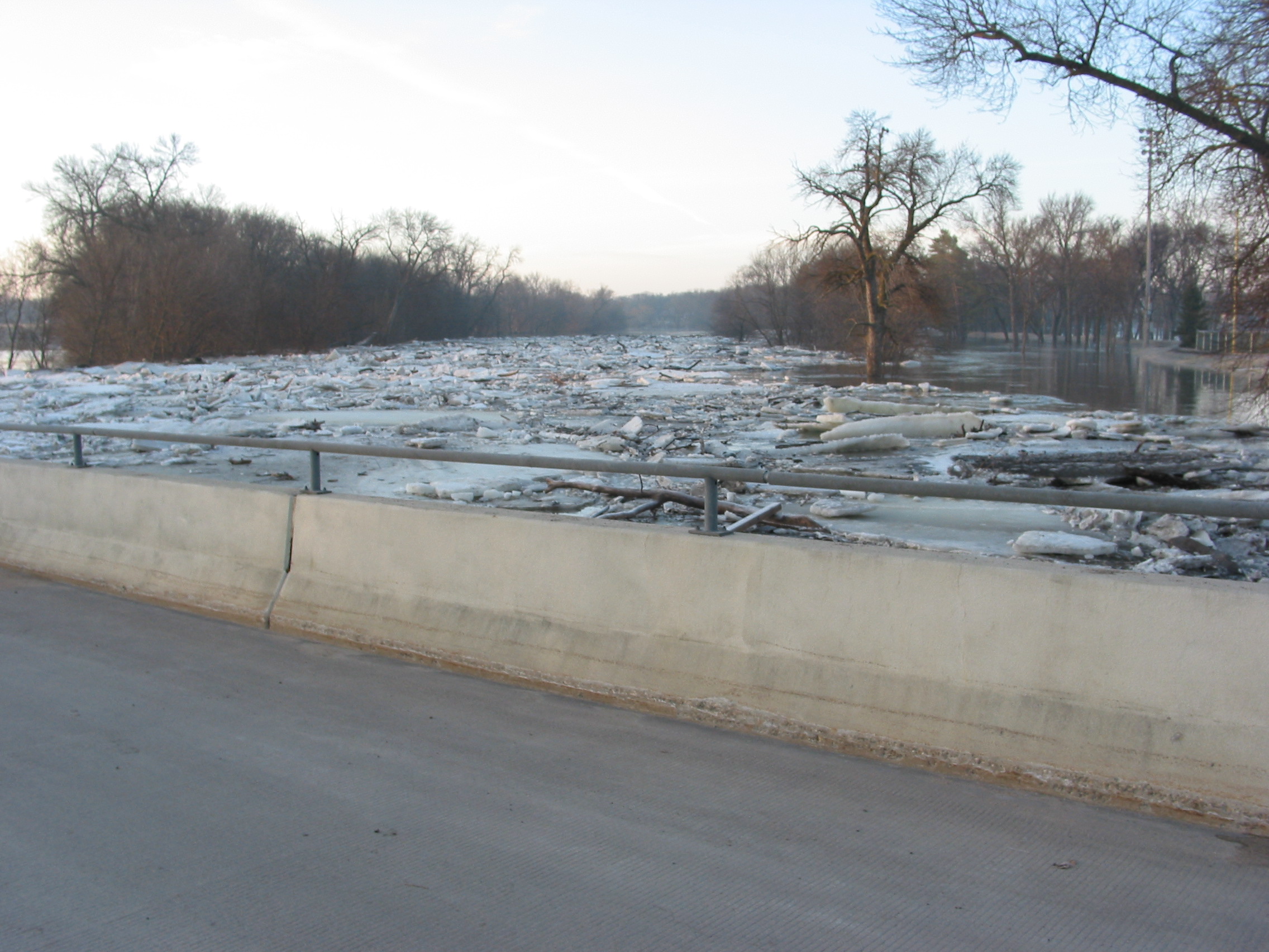
April 2006 Flood: Ice and debris jam at 12th Avenue North toll bridge, Fargo, North Dakota. This photo shows why this "floodable" bridge is an ill-conceived structure, acting to impede water and ice movement during times of flooding. April 1, 2006. Red River stage (at Fargo): 27.5'.
© Donald Schwert
|

|
April 2006 Flood: Ice and debris jam at 12th Avenue North toll bridge, Fargo, North Dakota. This photo shows why this "floodable" bridge is an ill-conceived structure, acting to impede the movement of water and ice during times of flooding. April 1, 2006. Red River stage (at Fargo): 27.5'.
© Donald Schwert
|

|
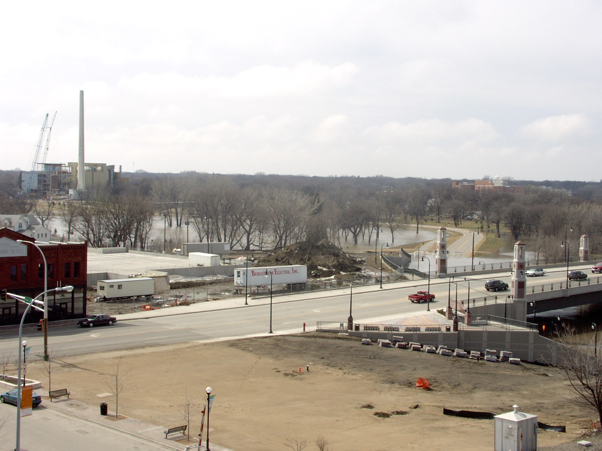
April 2006 Flood: View from Moorhead, Minnesota, toward Fargo, showing Veterans Memorial Bridge (Main Avenue). April 1, 2006. Red River stage (at Fargo): 27.5'.
© Larry Hansen
|

|
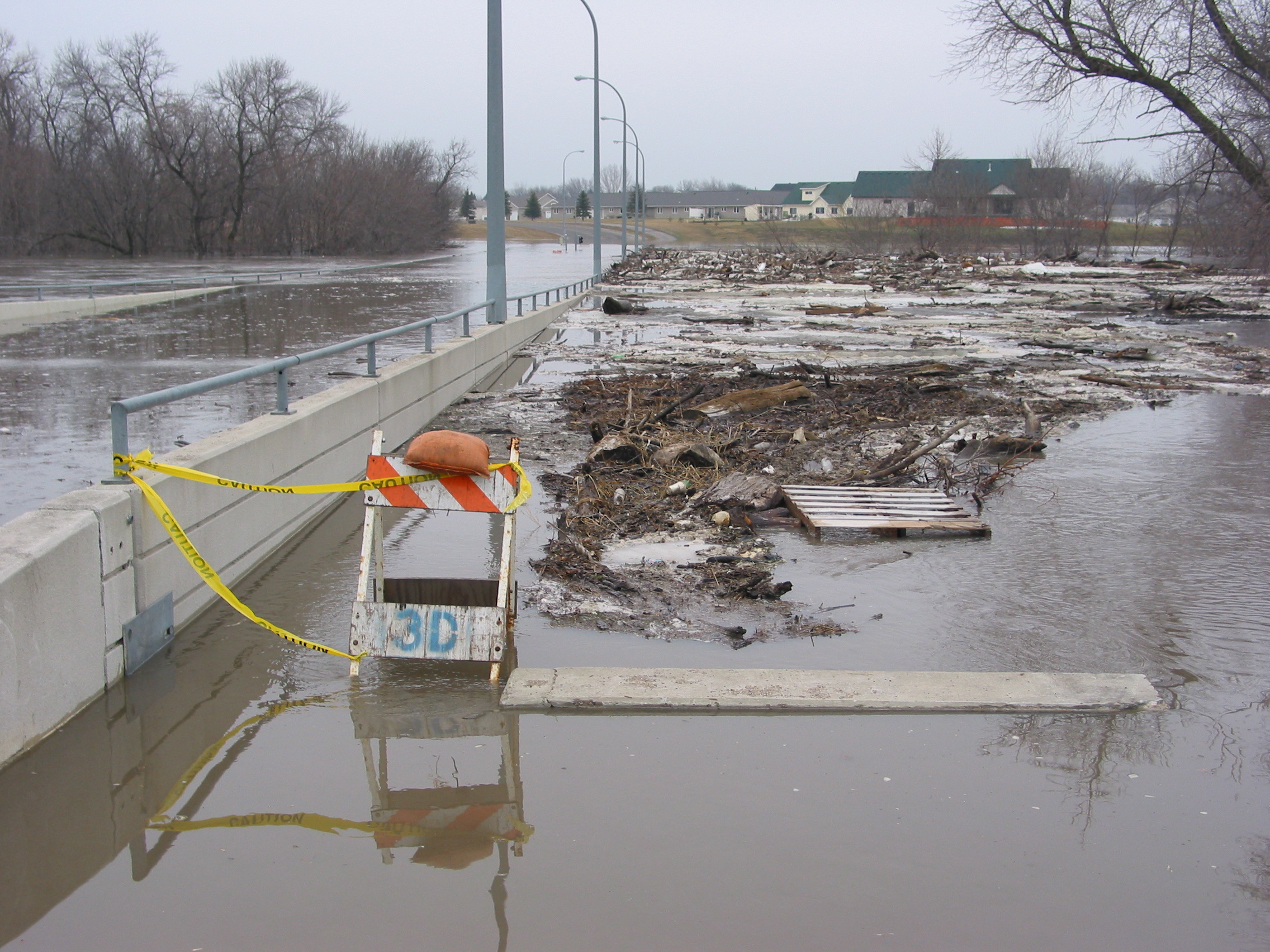
April 2006 Flood: Debris jam at flooded 12th Avenue North toll bridge, Fargo, North Dakota. This "floodable" bridge is ill-conceived, acting to impede the movement of water and ice during times of flooding. April 2, 2006. Red River stage (at Fargo): 31.9'.
© Donald Schwert
|

|
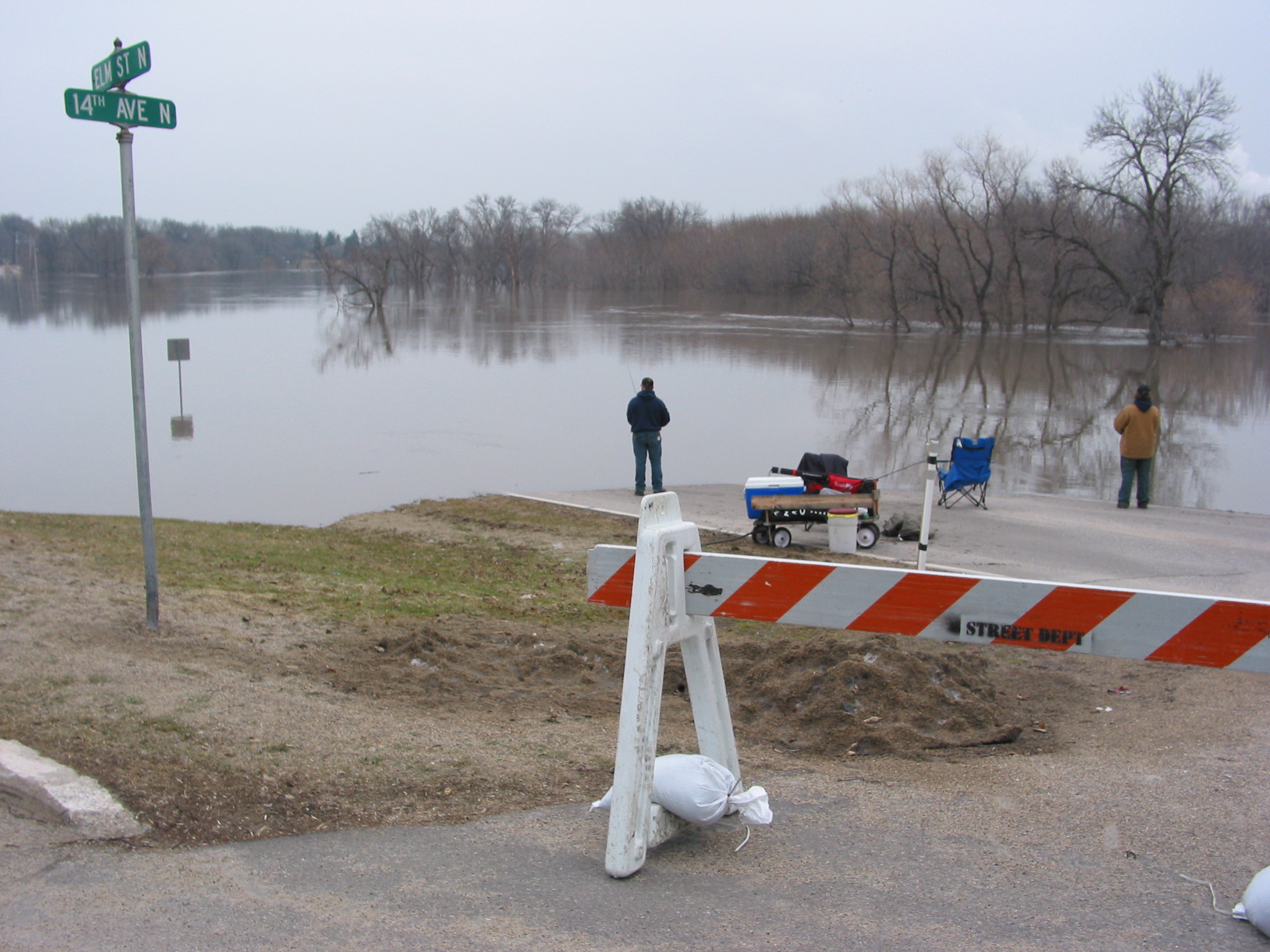
April 2006 Flood: A couple of enterprising young fishermen set up in the middle of Elm Street North, Fargo, North Dakota. April 2, 2006. Red River stage (at Fargo): 31.9'.
© Donald Schwert
|

|
April 2006 Flood: A couple of enterprising young fishermen set up in the middle of Elm Street North, Fargo, North Dakota. April 2, 2006. Red River stage (at Fargo): 31.9'.
© Donald Schwert
|

|
April 2006 Flood: View from Moorhead, Minnesota, toward Fargo, showing Veterans Memorial Bridge (Main Avenue). April 3, 2006. Red River stage (at Fargo): 34.7'.
© Larry Hansen
|

|
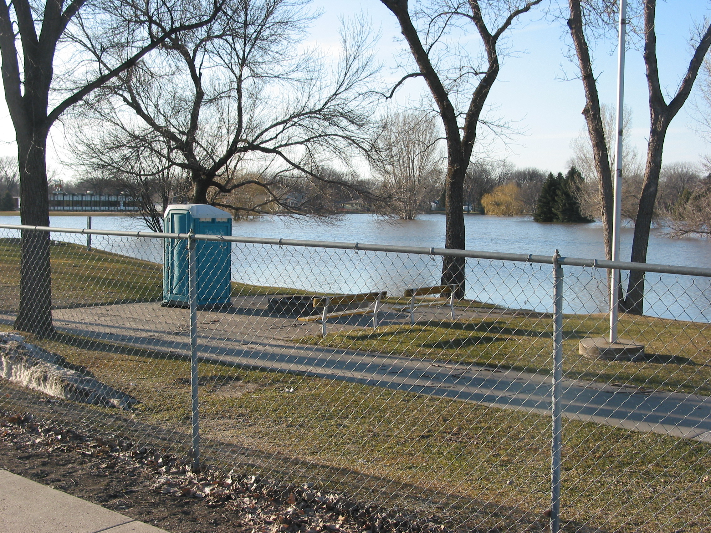
April 2006 Flood: Same view as above, but showing flood-affected buildings in Woodlawn Park, Moorhead, Minnesota. April 3, 2006. Red River stage (at Fargo): 34.7'.
© Larry Hansen
|

|
April 2006 Flood: El Zagal Golf Course, April 3, 2006. Red River stage (at Fargo): 34.7'.
© Cody VanderBusch
|

|
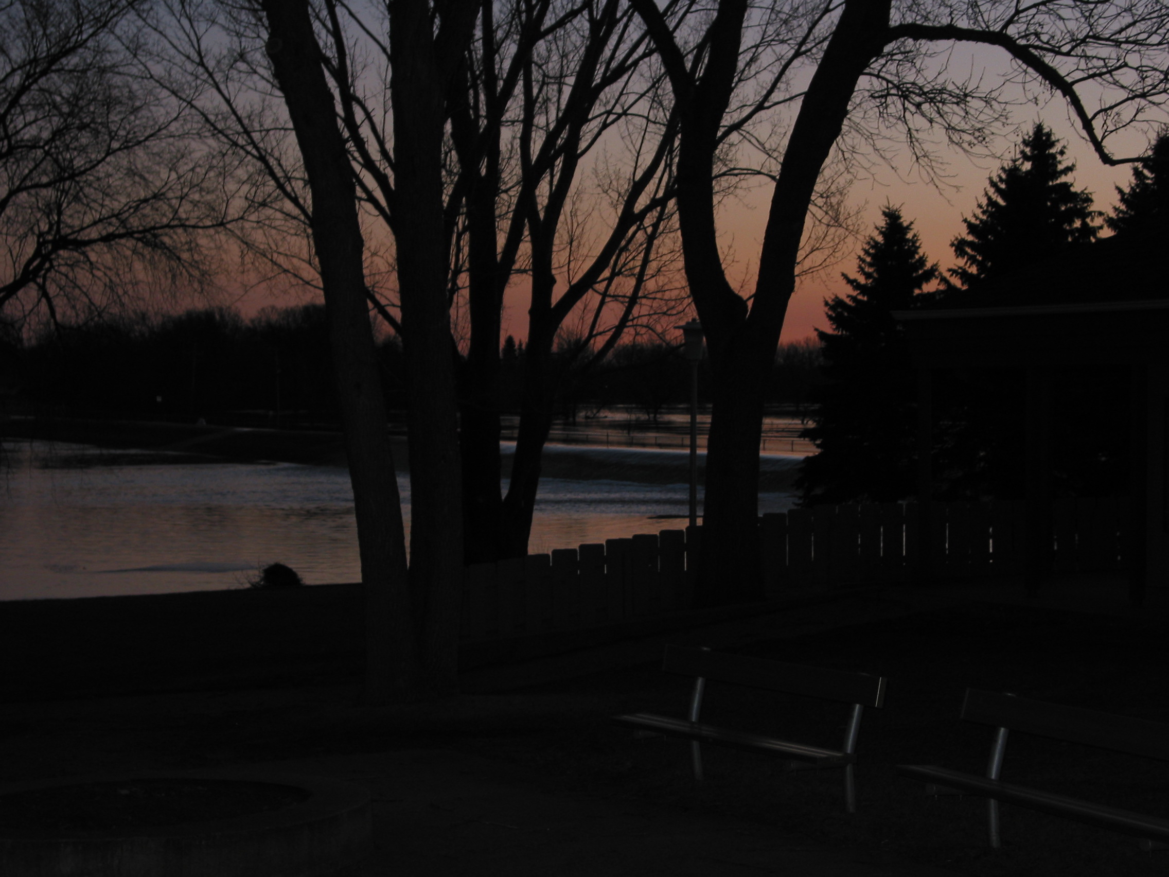
April 2006 Flood: Sunrise at Fargo, North Dakota, as water spills over the dike and into El Zagal Golf Course. April 3, 2006. Red River stage (at Fargo): 34.7'.
© Donald Schwert
|

|
April 2006 Flood: Dawn at Fargo, North Dakota, as water spills over the dike and into El Zagal Golf Course. April 3, 2006. Red River stage (at Fargo): 34.7'.
© Donald Schwert
|
|
|
April 2006 Flood: Movie 30-second movie of dawn at Fargo, North Dakota, as water spills over the dike and into El Zagal Golf Course. April 3, 2006. Red River stage (at Fargo): 34.7'.
© Donald Schwert
|

|
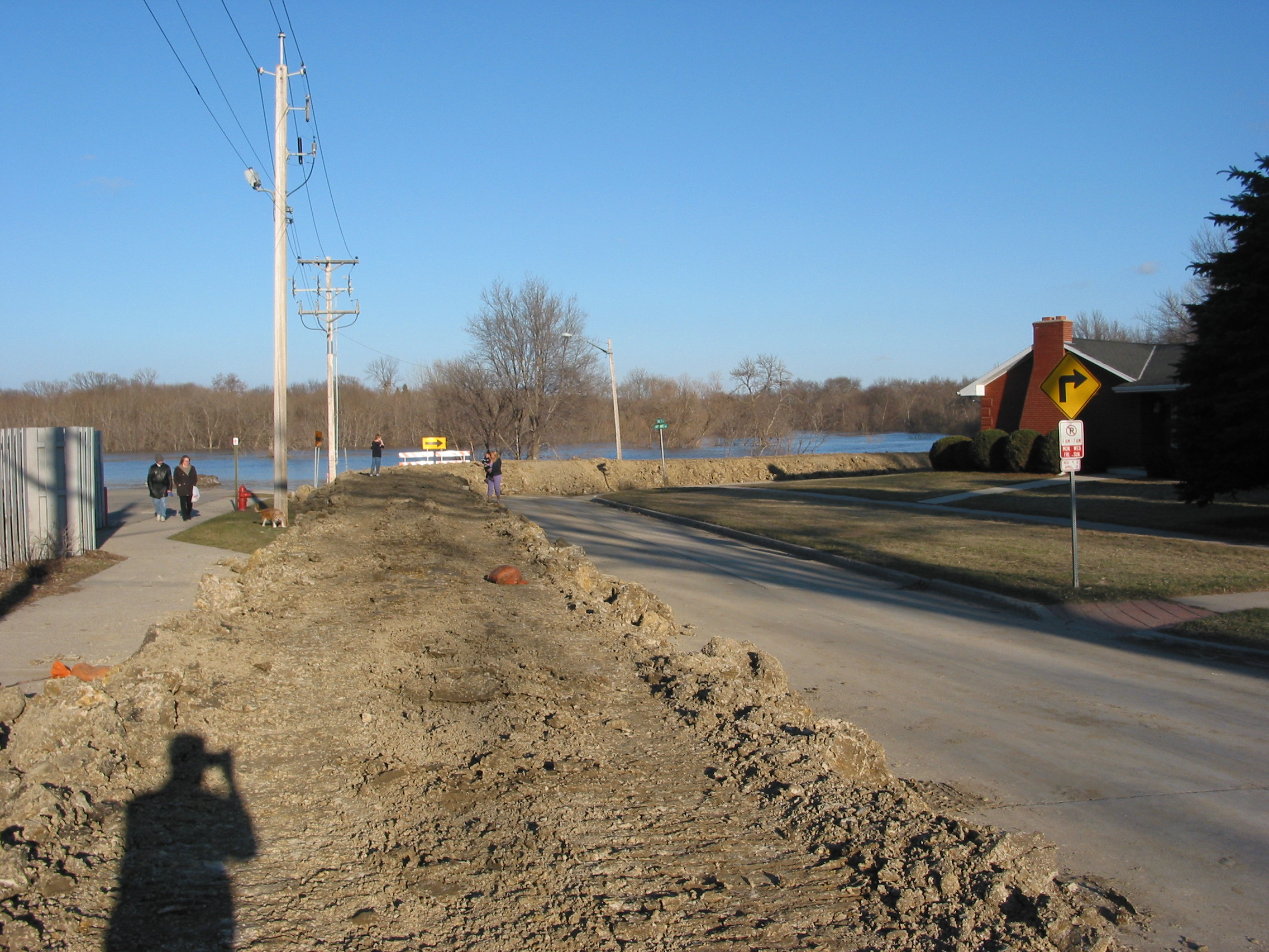
April 2006 Flood: Evening at a temporary dike protecting 14th Avenue N and Oak Street, Fargo, North Dakota. April 3, 2006. Red River stage (at Fargo): 35.9'.
© Donald Schwert
|

|
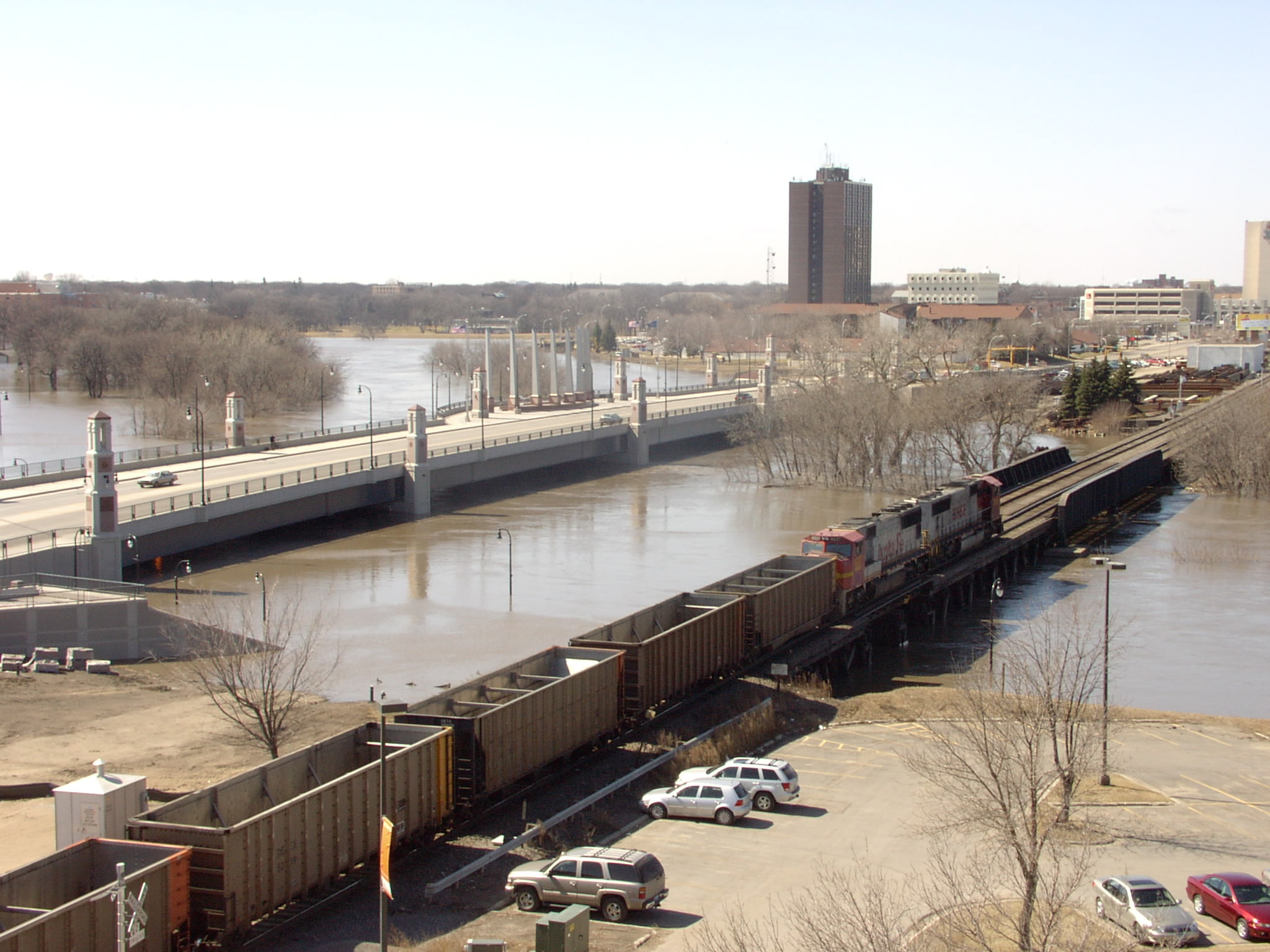
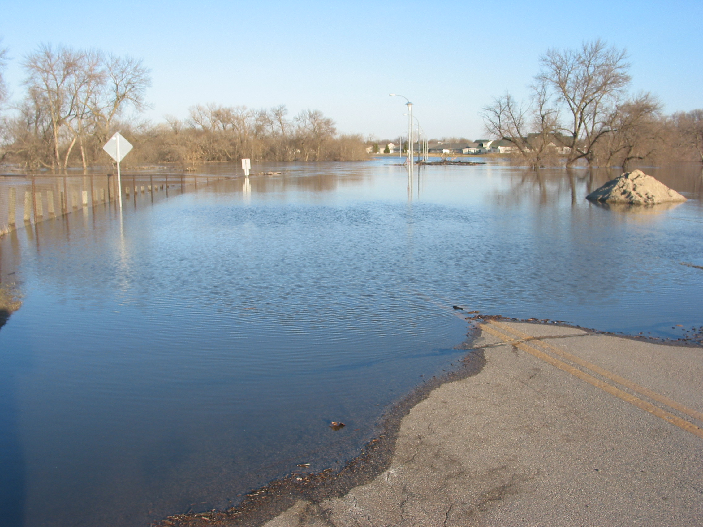
April 2006 Flood: View eastward over what was the 12th Avenue N. toll bridge, Fargo, North Dakota. April 4, 2006. Red River stage (at Fargo): 37.1', and therefore just about at its crest of 37.2'.
© Donald Schwert
|

|
April 2006 Flood: View southward on Oak Street N of temporary dike. River is flooding Mikkelson Field (left), Fargo, North Dakota. April 4, 2006. Red River stage (at Fargo): 37.1', and therefore just about at its crest of 37.2'.
© Donald Schwert
|

|
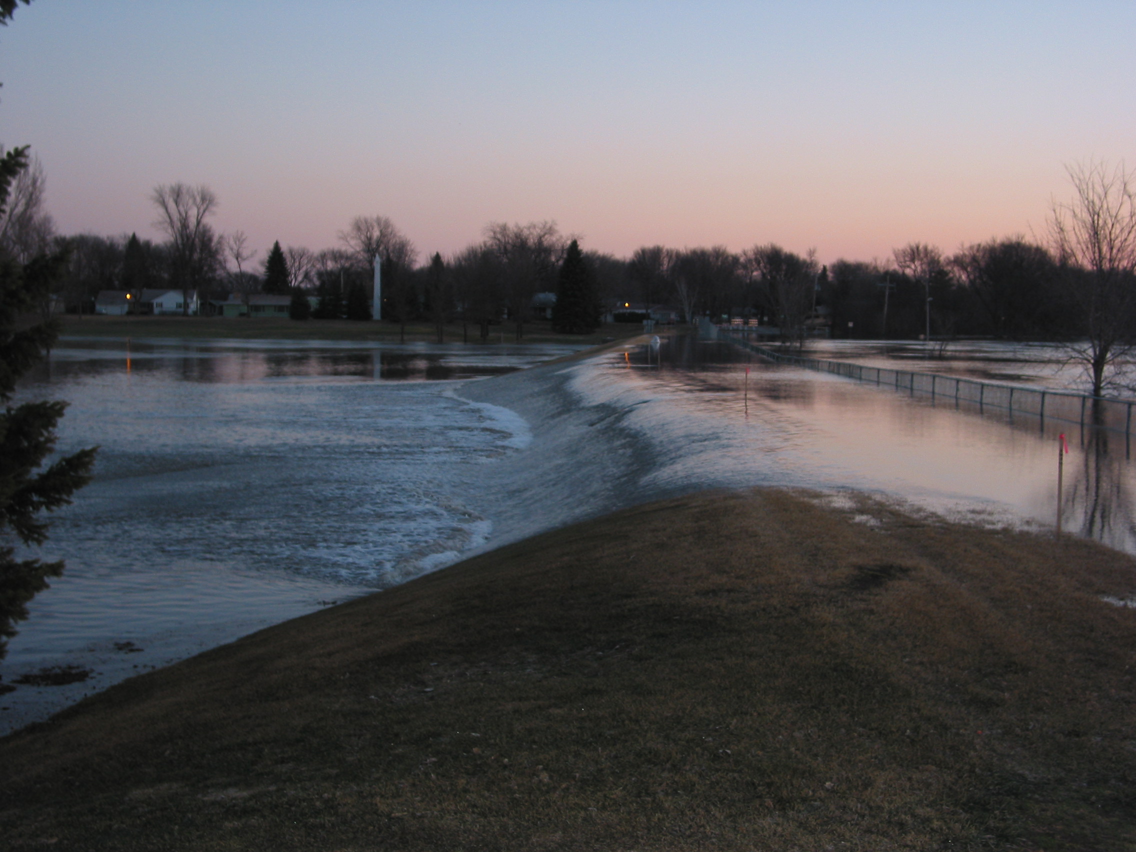
April 2006 Flood: View northward across El Zagal Golf Course, Fargo, North Dakota. April 4, 2006. Red River stage (at Fargo): 37.1', and therefore just about at its crest of 37.2'.
© Donald Schwert
|

|
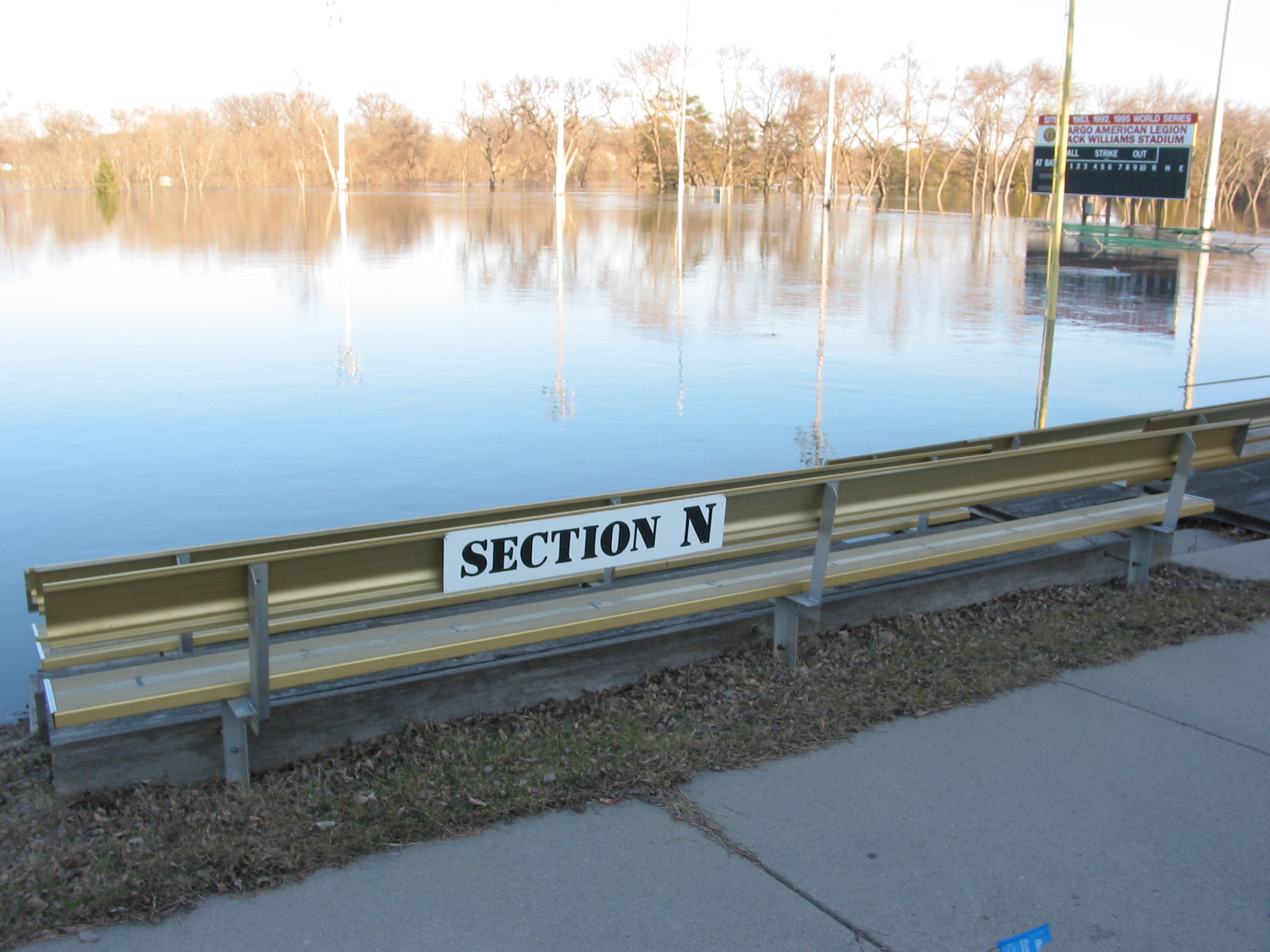
April 2006 Flood: Jack Williams Stadium, Fargo, North Dakota. April 4, 2006. Red River stage (at Fargo): 37.1', and therefore just about at its crest of 37.2'.
© Donald Schwert
|

|
April 2006 Flood: Jack Williams Stadium, Fargo, North Dakota. April 4, 2006. Red River stage (at Fargo): 37.1', and therefore just about at its crest of 37.2'.
© Donald Schwert
|

|
April 2006 Flood: Jack Williams Stadium, Fargo, North Dakota . Lowermost seats of Section N are under ~15 feet of water. No one is complaining about spitballs. April 4, 2006. Red River stage (at Fargo): 37.1', and therefore just about at its crest of 37.2'.
© Donald Schwert
|

|
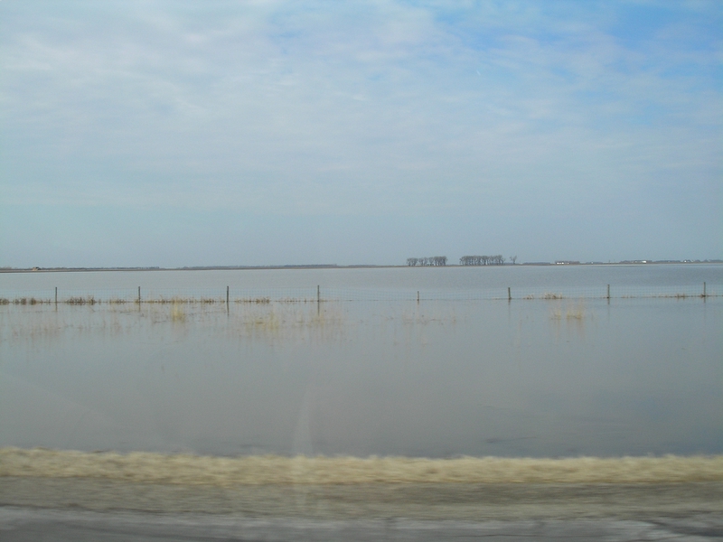
April 2006 Flood: Flooding along Interstate 29, near Harwood, North Dakota (just north of Fargo). April 5, 2006.
© Jeffrey Bell
|

|
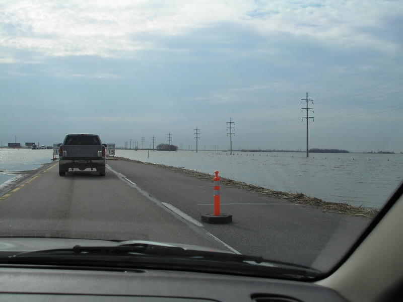
April 2006 Flood: Flooding on Interstate 29, near Harwood, North Dakota (just north of Fargo). April 5, 2006.
© Jeffrey Bell
|

|
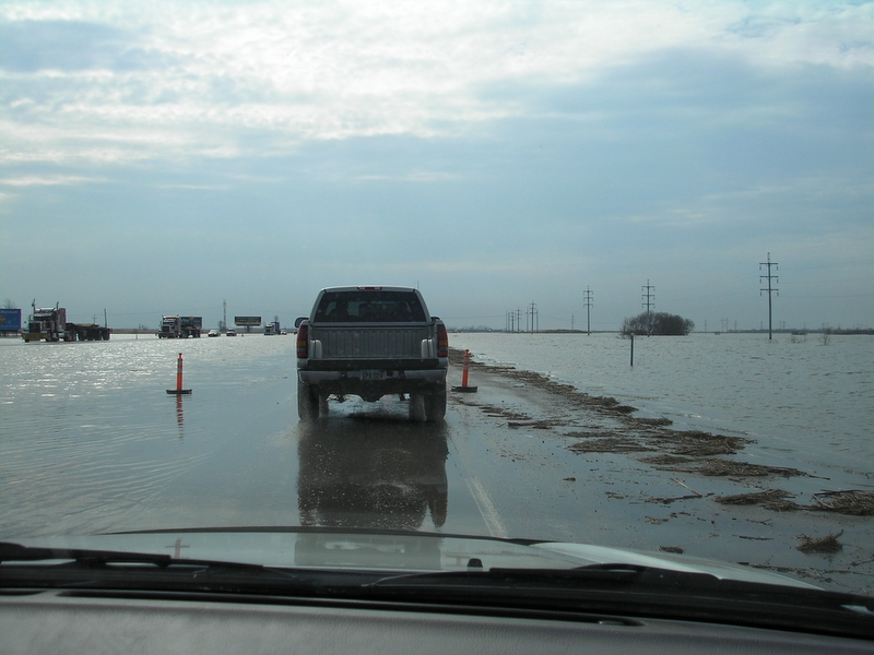
April 2006 Flood: Flooding on Interstate 29, near Harwood, North Dakota (just north of Fargo). April 5, 2006.
© Jeffrey Bell
|

|
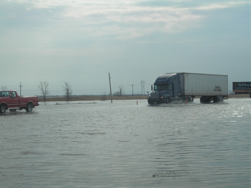
April 2006 Flood: Flooding on Interstate 29, near Harwood, North Dakota (just north of Fargo). April 5, 2006.
© Jeffrey Bell
|
[ Return to NDSU's Red River Flood Homepage ]
[ Geology of Fargo Homepage ]
|