|
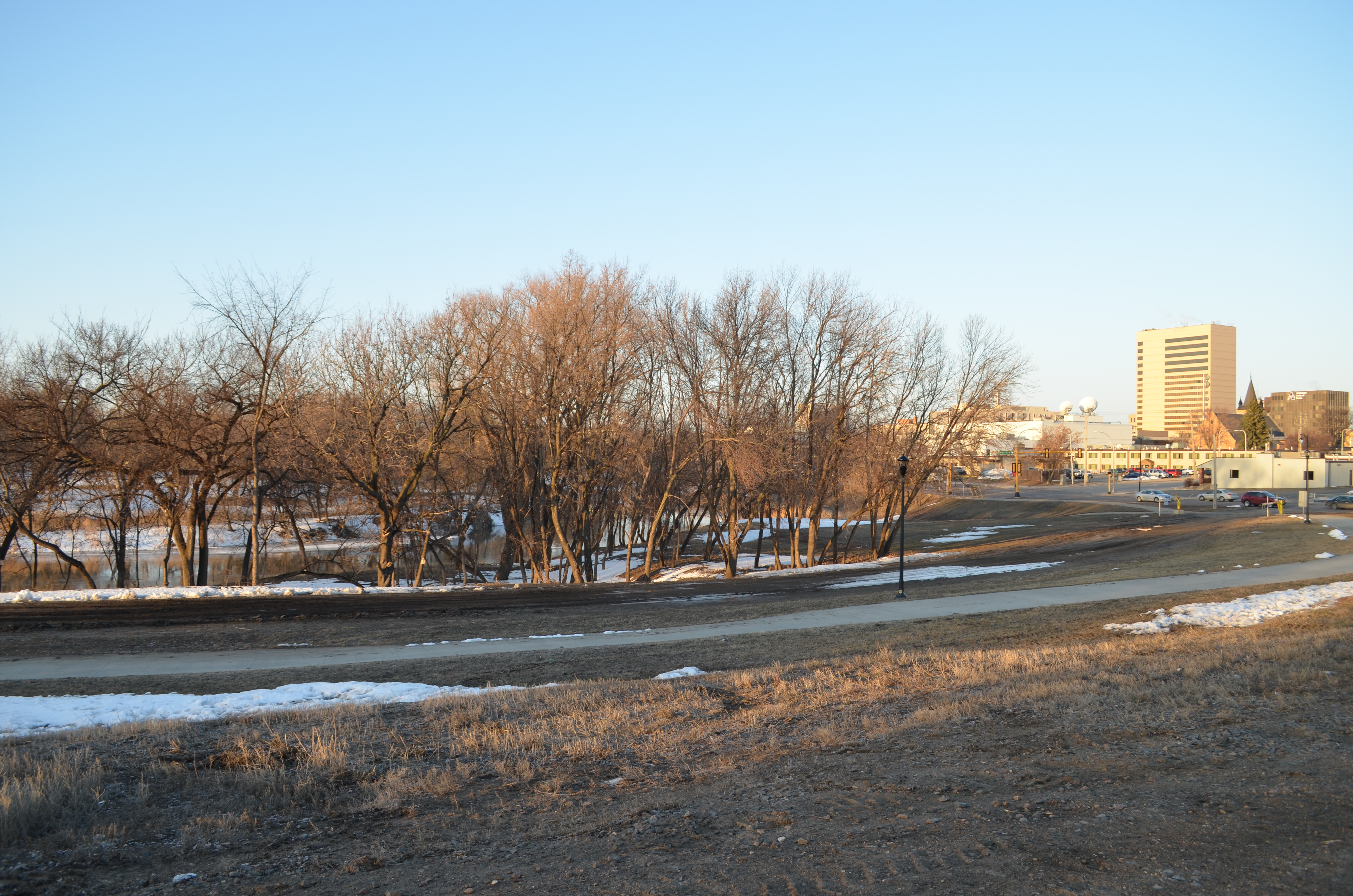
April 23: Fargo awaits the latest spring-thaw flood on record. Red River stage (at Fargo): 16.78'.
© Donald Schwert
|

|
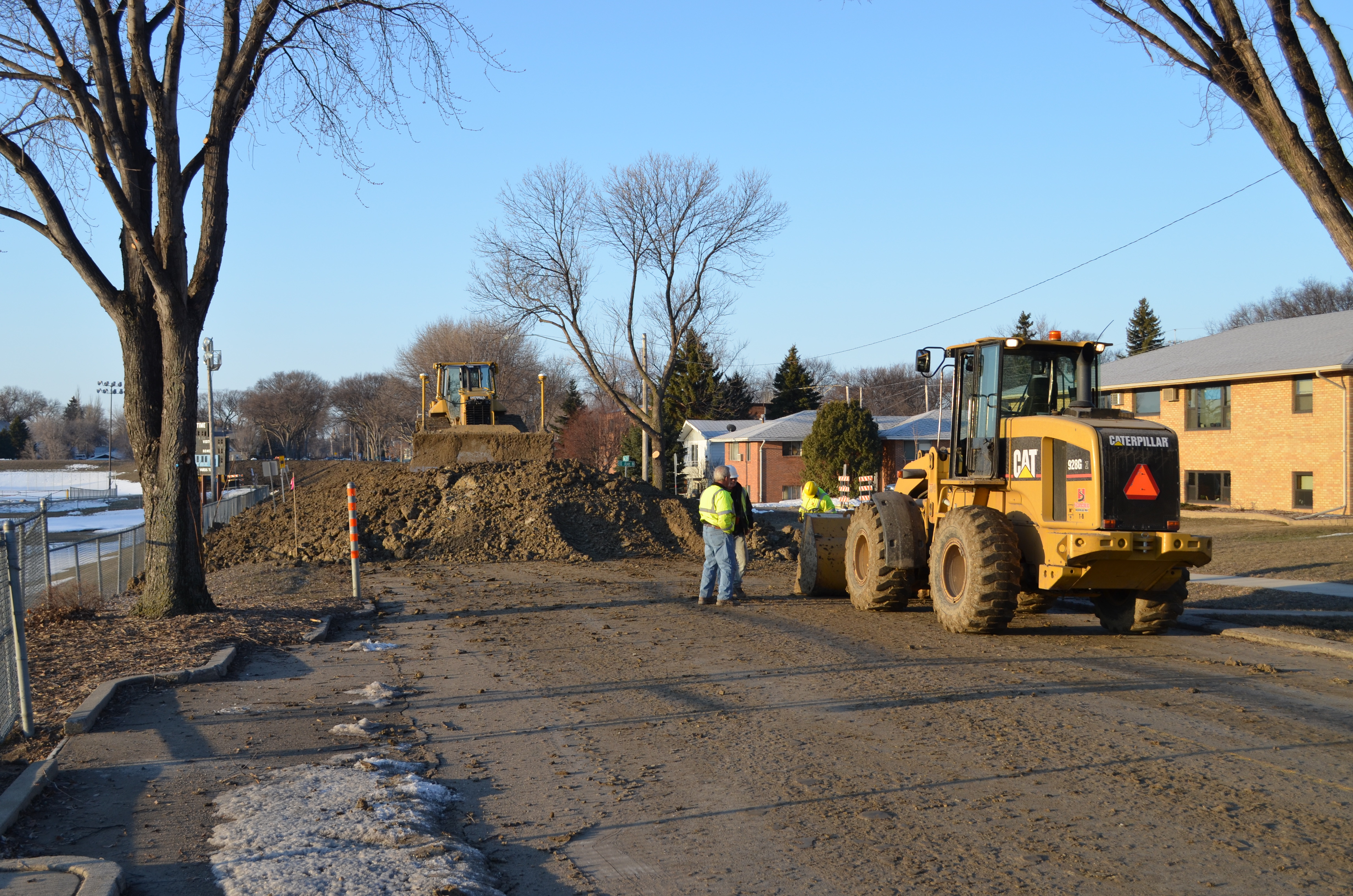
April 23: An emergency clay dike is constructed along Oak Street N, Fargo ND. Red Rver stage (at Fargo): 16.78'.
© Donald Schwert
|

|
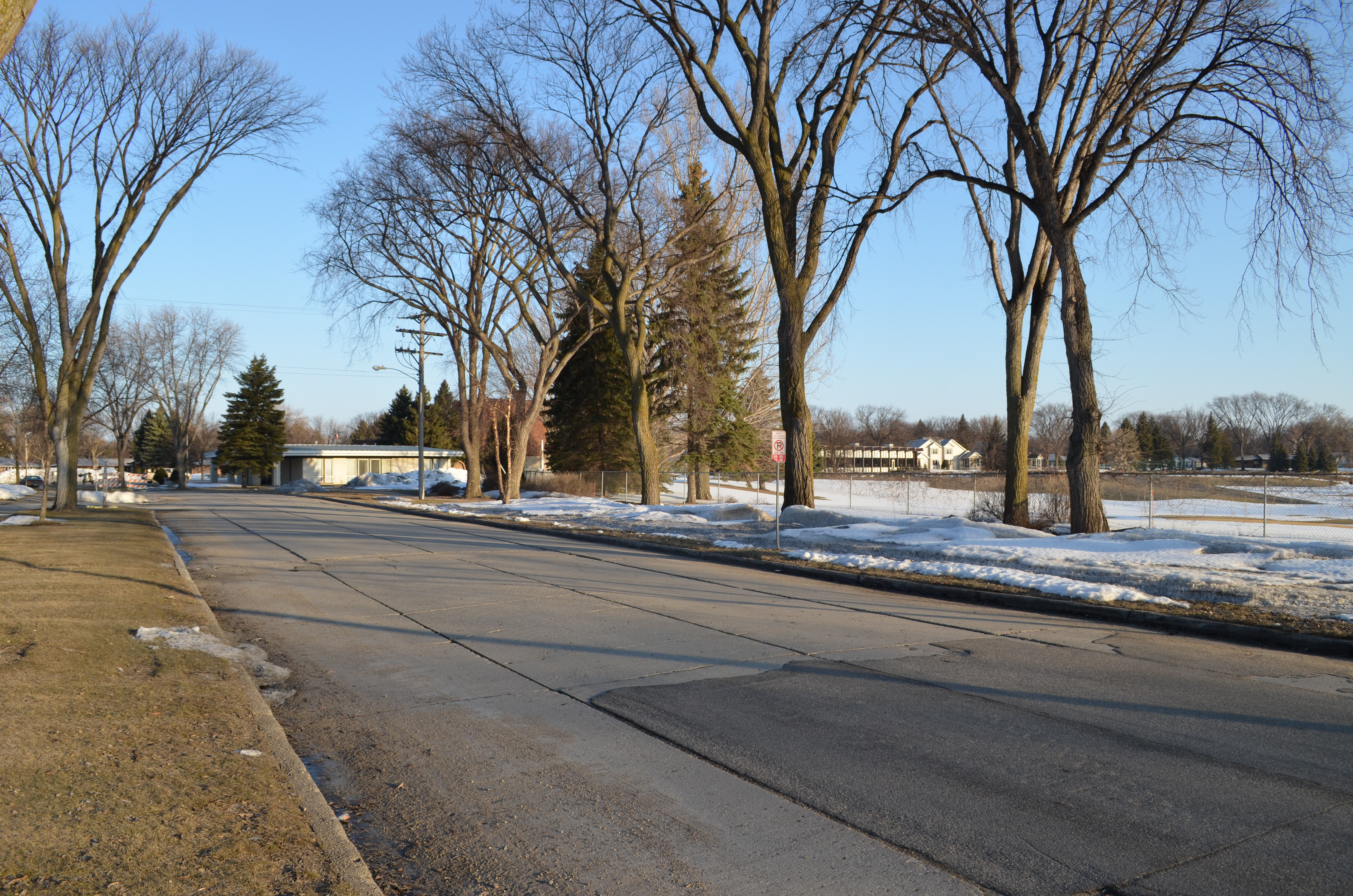
April 23: An emergency clay dike will soon be in place along this stretch of 14th Ave. N, as river waters spill into El Zagal Golf Course and then up toward the street. Red River stage (at Fargo): 16.78'.
© Donald Schwert
|

|
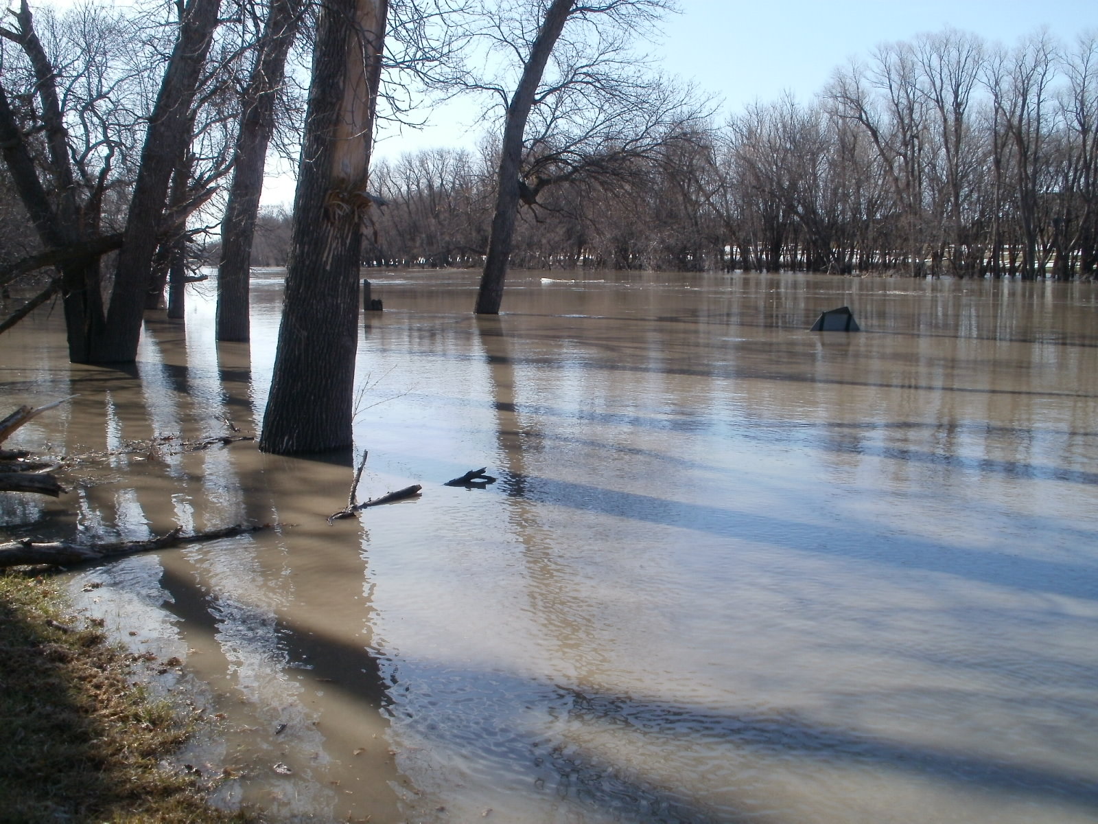
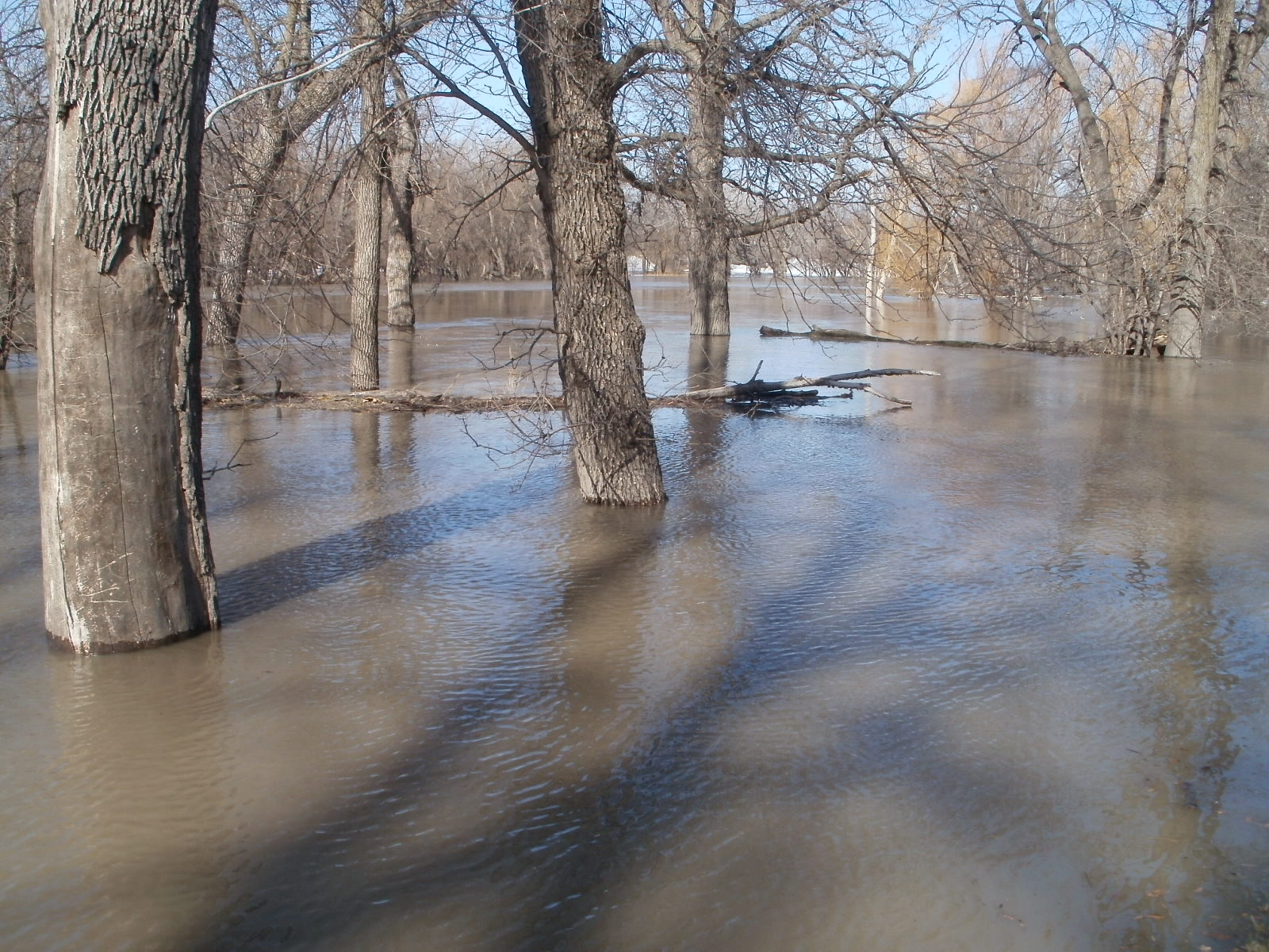
April 27: Flood waters spill into River Oaks Park, the site of a former neighborhood in south Moorhead, MN. Red River stage (at Fargo): 27'.
© Larry Hansen
|

|
April 27: Flood waters spill into River Oaks Park, the site of a former neighborhood in south Moorhead, MN. Red River stage (at Fargo): 27'.
© Larry Hansen
|

|
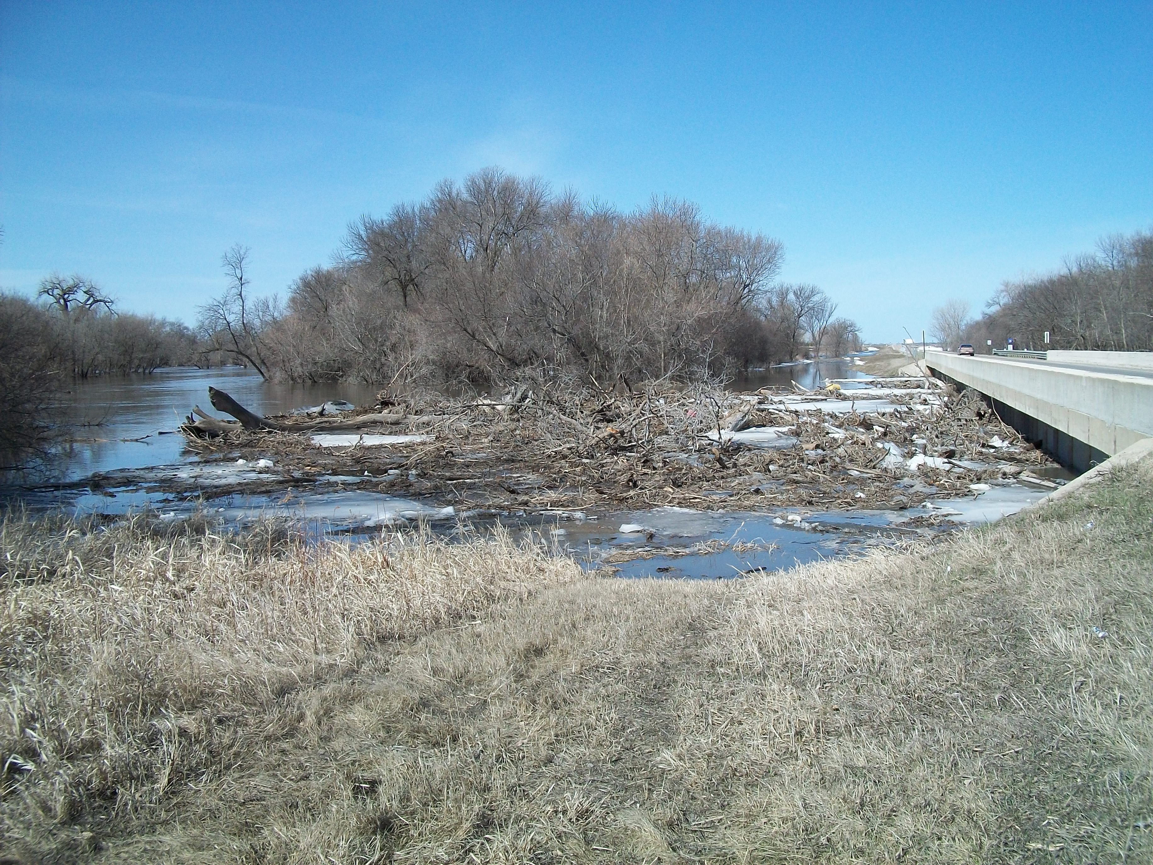
April 27: Debris piles against Red River bridge, west of Comstock, MN. View is to the west. Red River stage (at Fargo): 27'.
© Larry Hansen
|

|
April 28: 1st Avenue North bridge across the Red River. View is from Moorhead toward Fargo. Red River stage (at Fargo): 29.5'.
© Larry Hansen
|

|
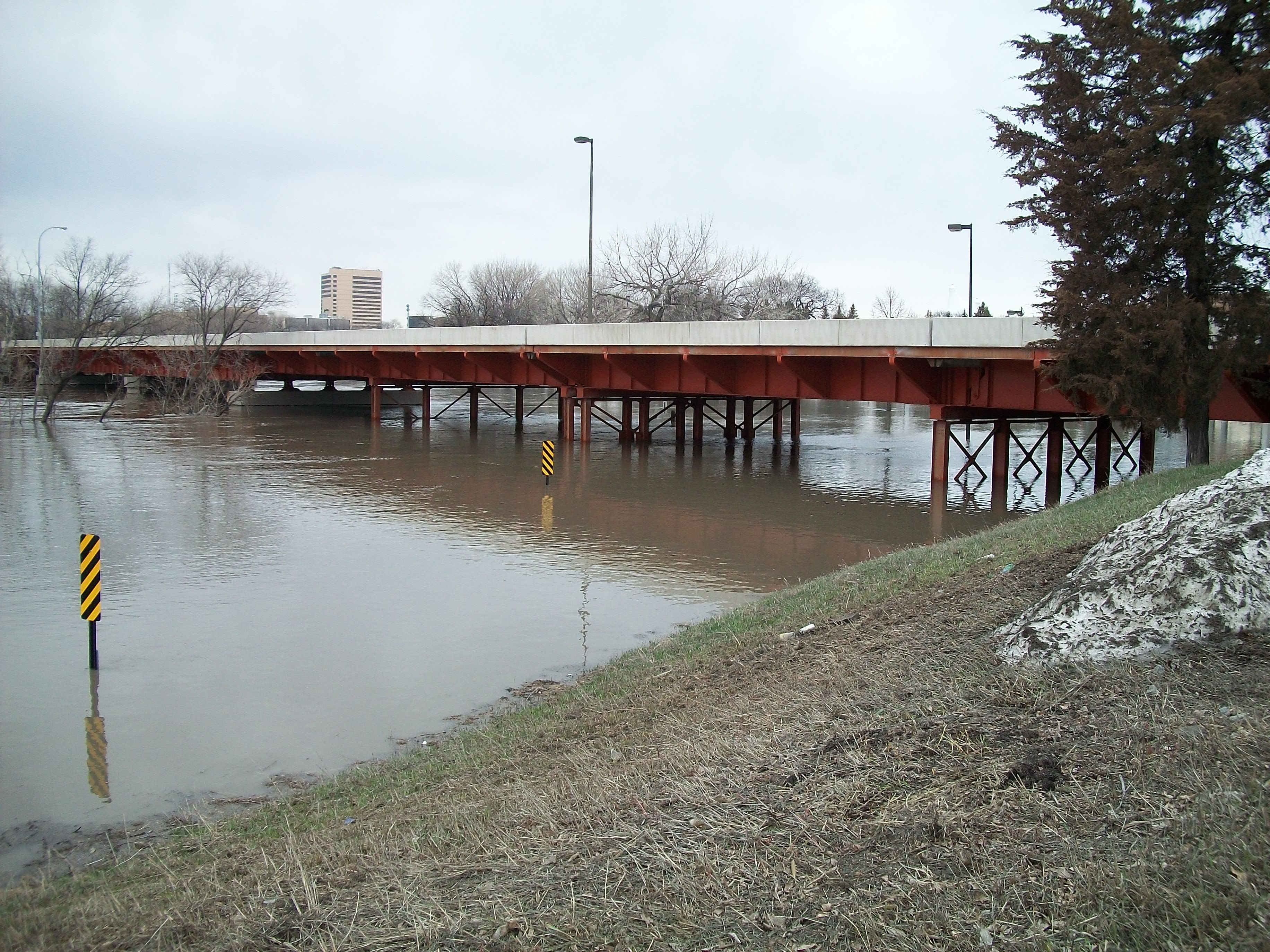
April 28: Main Avenue (U.S. Hwy 10) bridge across the Red River. View is from Moorhead toward Fargo. Red River stage (at Fargo): 29.5'.
© Larry Hansen
|

|
April 29: Sandbags are held in reserve along 3rd Street N at 14th Avenue N, Fargo, ND. Red River stage (at Fargo): 32.18'.
© Donald Schwert
|

|
April 29: Sandbags are held in reserve along 3rd Street N at 14th Avenue N, Fargo, ND. Red River stage (at Fargo): 32.18'.
© Donald Schwert
|
 NORTH DAKOTA STATE UNIVERSITY
- FARGO, N D
NORTH DAKOTA STATE UNIVERSITY
- FARGO, N D