 Home Home
Image Map
Search
References
Links
|
|
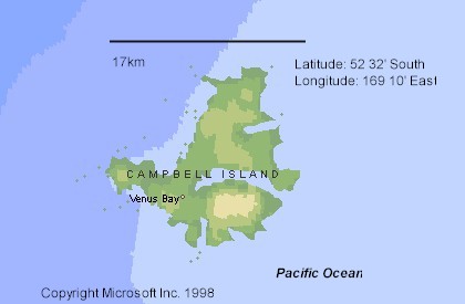
Campbell Island: 52° 55'S, 169° 15'E
- Area: 113 km²
- Physical features: Campbell Island is
a remnant of a dissected volcanic dome. Steep cliffs dominate the
western shores, while the east coast is broken by several large
inlets. Terrain is hilly, with deep gullies and numerous streams.
- There are a number of offlying islets including:
Jacquemart Island, Dent Island and Île de Jeanette Marie.
- The island lies midway between the Subtropical
and Antarctic Convergences. Climate is characterized by strong westerly
winds, 60-70% humidity, rainfall of 1250 mm/yr, and mean annual
temperature of about 6ºC.
- Historical features: The island was
discovered by the sealer Hasselburg in 1810. Sealing continued into
the 1830’s, by which time stocks were very depleted. Whaling operations
also occurred around 1909-1914.
- A war time coast-watching station was manned
from 1941 to 1945. The station was subsequently taken over as a
meteorological base.
- There are no permanent residents
- New Zealand territory, part of the Province
of Southland.
|