
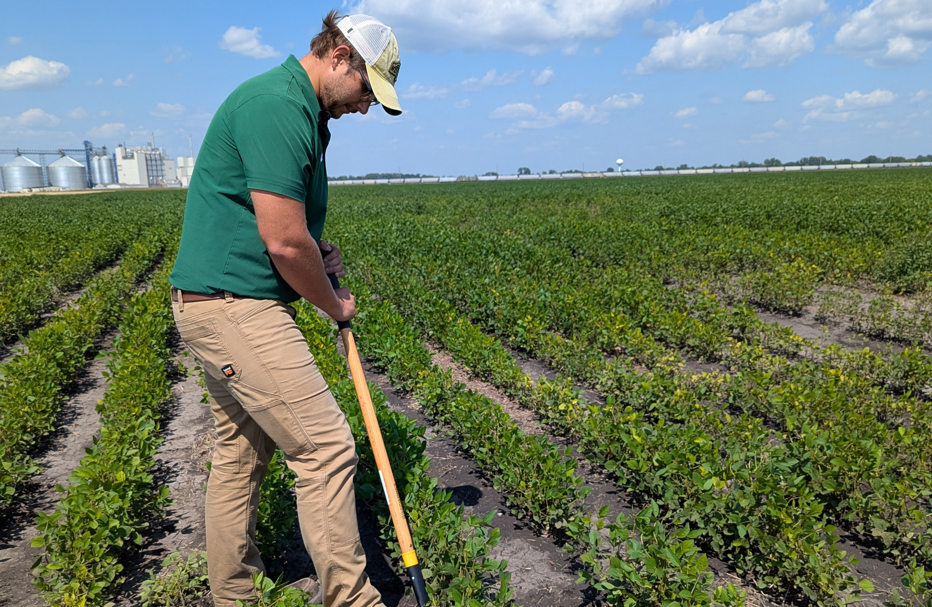
NDAWN data helping develop tools for crop disease management
The North Dakota Agricultural Weather Network – known as NDAWN – isn’t just measuring precipitation amounts and temperatures across the state. It’s also playing a role in developing tools for crop disease management.
Potato growers funded weather stations in the early 1990s specifically to support late blight modeling, and the model's success provided early validation and momentum for broader expansion. Cercospora forecasting for sugarbeets also emerged from related research conducted during the same period.
NDAWN was established in 1989 by John Enz, who was a faculty member at NDSU and the state’s climatologist. NDAWN was fundedwith a grant from the High Plains Climate Center, which serves six states and aims to increase the use and availability of climate data and information, and began with six automatic weather stations across North Dakota. Nearly four decades later, there are 250 such automated stations across North Dakota, Minnesota and northeastern Montana.
NDAWN also includes models for crop growth, planting dates, insect control and livestock comfort.
“It provides high-quality, localized weather and soil data tailored primarily for agriculture but useful across many sectors,” says Daryl Ritchison, who has been the director of NDAWN for a decade and is also the state’s climatologist.
Wise Roads, a project of the Western Dakota Energy Association, focuses on improving transportation efficiency in the gas and oil industry. WDEA, in partnership with NDAWN, sought to provide more accurate, detailed weather information to county road managers. To accomplish that, WDEA developed Wise Roads. The project deployed 50 research-grade weather stations across the oil-producing counties in western North Dakota. The full-service Wise Roads stations feature a high-resolution camera and can measure temperature, wind speed and direction, humidity and soil temperatures and moisture. Before the project, weather data were scarce in the Bakken region.
WDEA pays an annual maintenance fee to NDAWN to help cover maintenance costs at these stations; Ritchison said grants also help maintain all NDAWN stations.
In the mid-1990s, the system expanded to include small grains, canola and insects. Tools such as the Small Grains Disease Forecasting Model and ongoing Integrated Pest Management programs have further developed over the decades.
“NDAWN is important for research on plant disease and pest management because it supplies high-resolution, localized, real-time, research-grade weather data (plus historical data) that allows researchers to develop guidance that then powers the forecasting models that these data support,” Ritchison says.
Recently, a white mold disease forecaster for soybeans, called NDAWN White Mold Risk Maps, has been developed.
First published online in 2025’s growing season, the maps were originally developed at the University of Wisconsin and were deployed as a smartphone app called Sporecaster. Wade Webster, NDSU soybean pathologist and assistant professor, improved and validated those models using observations from commercial soybean fields across North Dakota where white mold developed, and is now using NDAWN’s high-resolution/research-grade data to produce that output.
“The models were further refined and validated across the state of North Dakota using commercial soybean fields that had white mold development,” Webster says. “These models use multiple environmental predictor variables, such as temperature, relative humidity, and windspeed, to help predict the risk of the white mold inoculum source that we call apothecia. These apothecia serve as the point of infection, and therefore predicting their development is a strong indicator of disease risk.”
Webster said white mold alone was estimated to have cost the soybean industry more than $60 million in yield losses. The white mold disease forecaster can help reduce those losses. “This has a tremendous impact on farmers across the state,” Webster says.
The tool allows farmers to monitor daily disease risk and make more informed decisions about when and where to apply fungicides.
“This tool can either help them make fungicide applications at the most effective times so that fungicides are having the maximum impact, and this also helps them to avoid applications when they are unnecessary so that they do not spend money on products that will not have a direct return on investment,” Webster says.
Validation shows that weather variables from the current weather service provider closely align with observations from NDAWN stations across the state.
“This confirmation has allowed us to confidently deploy these models through NDAWN for the use of North Dakota farmers,” Webster says. “Looking down the road, NDAWN weather is going to be critical for future refinement and future model development for diseases across many of our field crops in the state of North Dakota. Having this weather network at our disposal is tremendous for our capacity to establish forecasting systems that allow farmers to have the best possible information for making these costly management decisions.”
Webster says NDAWN’s data can be used to develop more tools in the future.
“NDAWN is such an important tool across such a wide range of our day-to-day lives,” Webster says. “Not only doesn’t allow us to track daily weather patterns so that we can help make decisions for our crops and our lives, but we can also utilize the data to develop new and exciting tools to help make our lives easier. This white mold risk map tool is just one of those examples.”
Another example of the value the system provides is a real-time inversion alert system used by NDAWN to detect low-level air temperature inversions, which occur when ground temperatures are colder than the air above. The cooler, denser area may cause spray particles to drift off-target.
“NDAWN has the only real-time inversion alert system in the United States,” Ritchison says.
Ritchison sees exciting possibilities for NDAWN’s impact going forward.
“My hope is using NDAWN’s detailed, hyper-local weather data to initialize the starting conditions for high-resolution models (including developing AI weather modeling),” Ritchison says. “The system would pull in real-time information from weather stations, including air and soil temperatures, humidity levels, and rainfall, and then incorporate current NDAWN crop and pest guidance. All of this data will give the computer models a precise, location-specific picture of what’s actually happening in the fields.”
Ritchison points out the value to producers: “By starting with real-world conditions across North Dakota’s varied landscapes, the models would become much more accurate and reliable, with less guesswork in the forecasts.”
